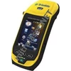
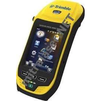
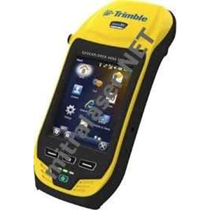
Detail GPS Trimble GeoXH 6000
Spesifikasi - GPS Trimble GeoXH 6000
SYSTEM SUMMARY
Dual-frequency GNSS receiver and antenna with Everest™ multipath rejection technology and Floodlight technology
Sunlight readable 4.2" polarized screen
Optional integrated 3.5G cellular modem
Integrated Wi-Fi and Bluetooth wireless technology
5 megapixel autofocus camera
Windows Mobile® 6.5 ( Professional edition)
Rugged and water-resistant design
SIZE AND WEIGHT:
Height: 234 mm ( 9.2 in)
Width: 99 mm ( 3.9 in)
Depth: 56 mm ( 2.2 in)
Weight ( inc. battery) : 925 g ( 2.0 lb)
GNSS:
Receiver: Trimble Maxwell™ 6 GNSS chipset
Channels: 220 channels
Systems: GPS, GLONASS, SBAS
GPS: L1C/ A, L2C, L2E
GLONASS: L1C/ A, L1P, L2C/ A, L2P
SBAS1: WAAS/ MSAS/ EGNOS
Update rate: 1 Hz
Time to first fix: 45 s ( typical)
NMEA-0183 support: Optional
RTCM support: RTCM2.x/ RTCM3.x
CMR support: CMR/ CMRx/ CMR+
GNSS ACCURACY ( HRMS) AFTER CORRECTION2:
Real-time H-Star2 10 cm + 1ppm
Real-time code corrected
Local base 75 cm + 1 ppm
SBAS ( WAAS/ MSAS/ EGNOS) < 1 m
H-Star postprocessed 10 cm + 1ppm
Code postprocessed 50 cm + 1 ppm
Carrier postprocessed
After 45 minutes 1 cm + 2ppm
TEMPERATURE:
Operation: -20 ° C to + 50 ° C ( -4 ° F to 122 ° F)
Storage: -30 ° C to + 70 ° C ( -22 ° F to 158 ° F)
Charging: 0 ° C to + 45 ° C ( 32 ° F to 113 ° F)
MECHANICAL SHOCK:
Drop: 1.2 m ( 4 ft) plywood over concrete
Vibration: Method 514.5
ALTITUDE & HUMIDITY RATINGS:
Relative humidity: 95% non-condensing
Maximum operating altitude: 3, 658 m ( 12, 000 ft)
Maximum storage altitude: 5, 000 m ( 16, 400 ft)
Tampilkan Lebih Banyak